Wawa-news.com Local and Regional News
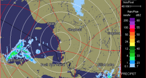
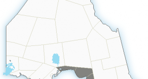
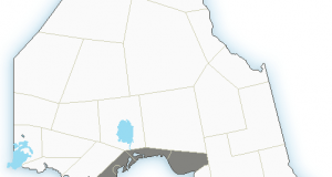
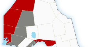
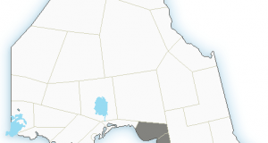
Snow squall watch in effect for: Pukaskwa Park – Wawa Lake Superior Park – Agawa Montreal River Harbour – Batchawana Bay – Searchmont Snow squalls are expected to develop. Under the snow squall bands, visibilities will be significantly reduced due to the heavy snow, and snow will quickly accumulate. The snow squalls are forecast to begin overnight and then persist ...
Read More »Snow squall watch