 Wawa-news.com Local and Regional News
 Special weather statement in effect for:
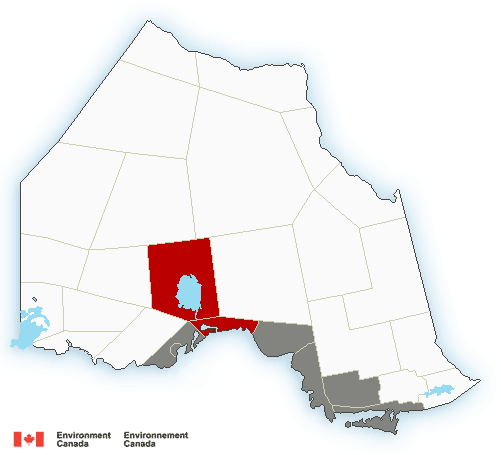
- Wawa – Pukaskwa Park
- Agawa – Lake Superior Park
- Sault Ste. Marie – St. Joseph Island
- Searchmont – Montreal River Harbour – Batchawana Bay
Rain at times heavy today and tonight.
A low pressure system will bring rain to regions along the west shore of Lake Superior this morning, then to regions along the north and east shore of Lake Superior this afternoon and this evening. General rainfall amounts are expected to be 20 to 30 mm. However, it is possible that some areas could receive up to 50 mm by Tuesday morning. Localized flooding is possible.
Special weather statement in effect for:
- Marathon – Schreiber
Rain at times heavy today and tonight.
A low pressure system will bring rain to regions along the west shore of Lake Superior this morning, then to regions along the north and east shore of Lake Superior this afternoon and this evening. General rainfall amounts are expected to be 20 to 30 mm. However, it is possible that some areas could receive up to 50 mm by Tuesday morning. Localized flooding is possible.
Rainfall warning in effect for:
- Nipigon – Rossport
Rain, at times heavy, is expected.
Rain will begin this morning and become heavy this afternoon. Total rainfall amounts near 50 mm are expected before rain tapers off this evening.
Localized flooding is possible. For information concerning flooding, please consult your local Conservation Authority or Ontario Ministry of Natural Resources and Forestry District Office.
Heavy downpours can cause flash floods and water pooling on roads. Watch for possible washouts near rivers, creeks and culverts.

- Municipal Response to Odours from Wastewater Treatment Plant - July 10, 2026
- LSPP Agawa Bay Campground & Visitor Centre – Scheduled Water Outage - July 10, 2026
- Ladies Night – July 8th - July 10, 2026