Wawa-news.com Local and Regional News
 Harbour Road, just before Long Beach Road at 11:30 p.m. |
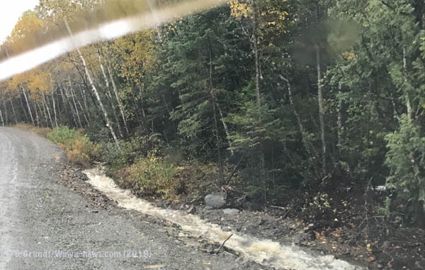
 1:00 p.m. water has now reached crown of roadway and is spilling over and eroding road surface despite efforts to drain from other side. |
|---|
The heavy rains predicted by Environment Canada have materialized. Since the rain started yesterday evening Wawa has received 71mm of rain. Wawa has received approx. 56mm of rain today (WawaWeather.net). After a pause this afternoon, the rain is expected to redevelop, and if predictions from Environment Canada hold steady, Wawa is to expect another 34mm of rain by tomorrow morning.
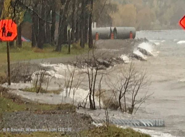
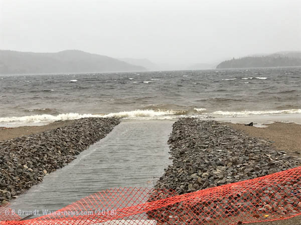
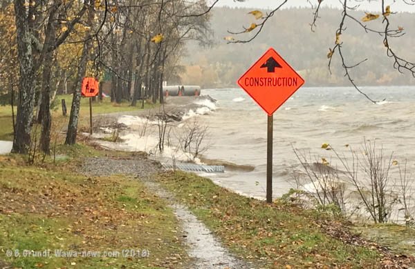 Waves breaking and eroding along lake shore. |
 |
|---|
 In Wawa, the winds are pushing waves against Lion’s and Dr. Rose’s Beach eroding the beach.
The Municipality’s Infrastructure Services are working hard to keep the Harbour Road open.
Water levels in the Magpie/Michipicoten river basin is rising.
Silver Falls is overflowing – looking spectacular.
 11:45 a.m. Dock at Buck’s Marina. |
 1:20 p.m. water has risen approx 3 inches since 11:45 a.m. |
|---|
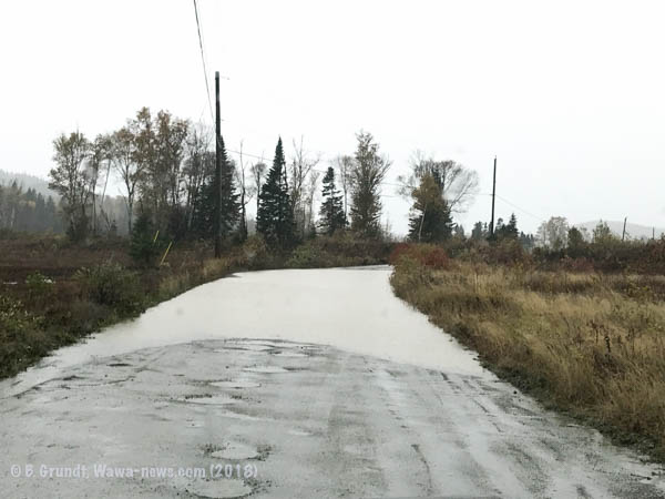
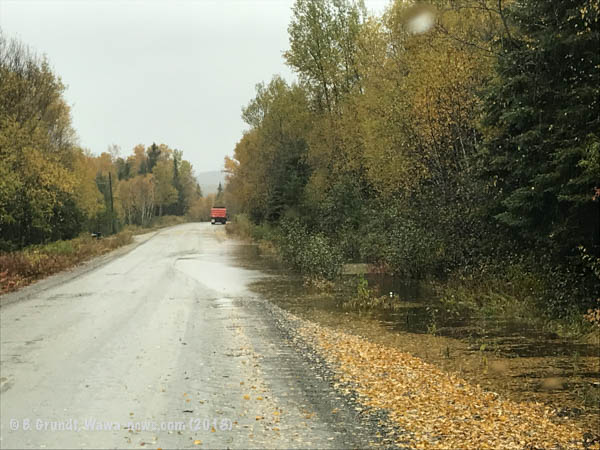
Road leading through Blueberry Flats to Magpie High Falls. I turned around.
Should you travel in the bush over the next few days, be aware that most, if not all watersheds (creeks, streams, rivers, lakes) are all full to overflowing, and there might even be water flowing where you least expect it. Always file a ‘flight plan’, letting someone know where you are going and when you expect to return.
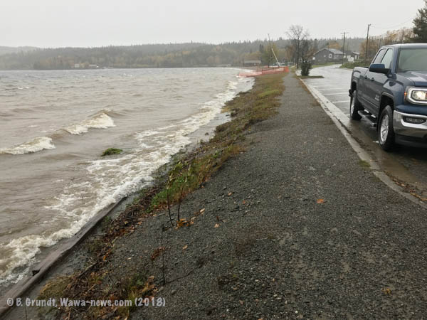
Waves on Wawa Lake.


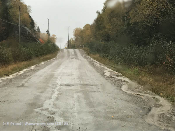
Between Sandy Beach and Michipicoten Bay Scenic Lookout – ditching has been extended to help direct water away from roadway.

Sandy Beach Hill.
Harbour Road

Corner before ‘Green Acres/Brient’.
Road leaving Michipicoten First Nation (11:00 a.m.)


- Friday Morning News – July 31st - July 31, 2026
- Thursday Morning News – July 30th - July 30, 2026
- Power Outage in White River, Mobert and Hemlo – RESTORED - July 29, 2026