 Wawa-news.com Local and Regional News
Jan 4, 2018 @ 06:52
GOGAMA – FOLEYET – KIRKLAND LAKE – NEW LISKEARD – TEMAGAMI – ELLIOT LAKE – RANGER LAKE – CITY OF THUNDER BAY – DRYDEN – IGNACE – SEINE RIVER VILLAGE – MINE CENTRE – ATIKOKAN – UPSALA – QUETICO – SUPERIOR WEST – SIOUX LOOKOUT – SAVANT LAKE – LAKE NIPIGON – WABAKIMI – GERALDTON – MANITOUWADGE – HORNEPAYNE – NIPIGON – MARATHON – SUPERIOR NORTH – WAWA – WHITE RIVER – PUKASKWA SEARCHMONT – MONTREAL RIVER HARBOUR – BATCHAWANA BAY AGAWA – LAKE SUPERIOR PARK KAPUSKASING – HEARST TIMMINS – COCHRANE CHAPLEAU – MISSINAIBI LAKE.
Extreme Cold Warning in effect for:
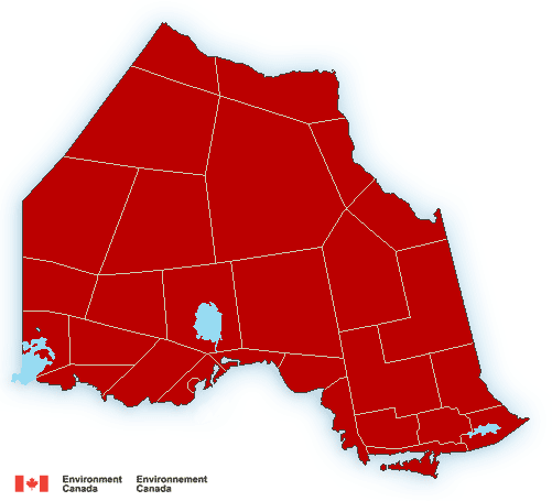
- Northern Ontario as shown in graphic to right
A period of very cold wind chills is expected.
Extreme wind chill values near or below minus 40 are expected early this morning in some locales, again tonight and Friday morning, and once again Friday night and Saturday morning.
- Dress warmly. Dress in layers that you can remove if you get too warm. The outer layer should be wind resistant.
- Keep dry to stay warmer.
- Cover up. Frostbite can develop within minutes on exposed skin, especially with wind chill.
Extreme cold warnings are issued when very cold temperatures or wind chill creates an elevated risk to health such as frostbite and hypothermia.

- Saturday Morning News – March 9 - March 9, 2024
- Hwy 101 (Wawa to Chapleau) OPEN - June 17, 2023
- Hwy 631 (White River to Hwy 11) OPEN - January 17, 2023