Wawa-news.com Local and Regional News
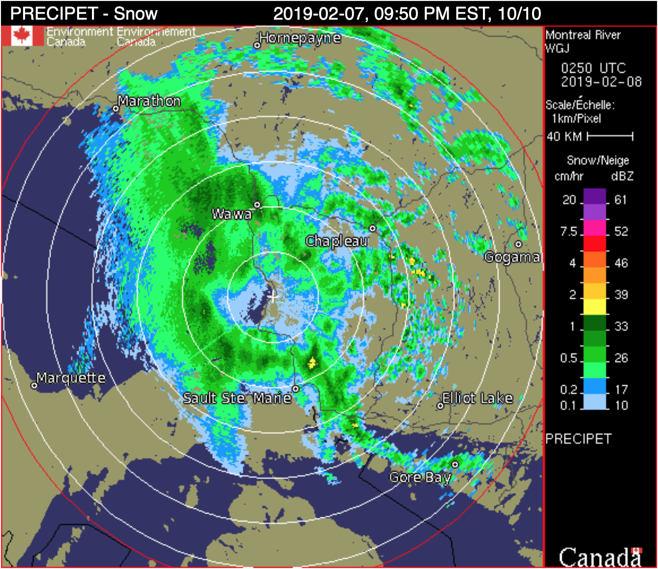 You may wish to reconsider your travel plans for tomorrow. The winter storm warning that Environment Canada has made explains that the storm will bring a large area of snow to Northeastern Ontario and areas North of Superior tonight and Friday. Total snowfall amounts will reach 25 to 30 cm in most areas by Friday morning. Locally higher amounts near 40 cm are possible in one or two localities. Strong northeast to north winds will whip up freshly fallen snow resulting in very low visibility in blowing snow especially in exposed areas.
At this time, Highway 17 is closed from Batchawana Bay to Wawa, and from White River to Terrace Bay.

Latest posts by Brenda (see all)
- Monday Morning News – June 29 - June 29, 2026
- CSC Nouvelon honours eight young Indigenous leaders through the Mino Bimaadiziwin Scholarship - June 27, 2026
- Saturday Morning News – June 27 - June 27, 2026