Wawa-news.com Local and Regional News
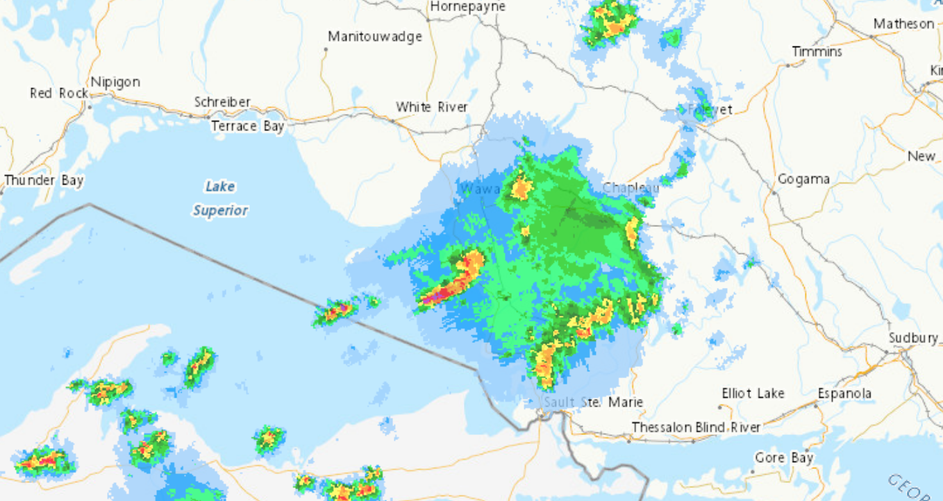
At 6:53 a.m. EDT, Environment Canada meteorologists are tracking a cluster of severe thunderstorms capable of producing strong wind gusts, up to nickel size hail and heavy rain.
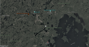
This cluster of severe thunderstorms is located from 20 kilometres southeast of Pukaskwa to 15 kilometres west of Chapleau to 9 kilometres south of Goulais River Provincial Park to 50 kilometres west of Pancake Bay Provincial Park, moving east at 40 km/h.
Hazard: 90 km/h wind gusts and nickel size hail.
Locations impacted include the following regions:
- Wawa – Pukaskwa Park
- Agawa – Lake Superior Park
- Searchmont – Montreal River Harbour – Batchawana Bay
- Chapleau – Missinaibi Lake
- Elliot Lake – Ranger Lake
Take cover immediately, if threatening weather approaches. Large hail can damage property and cause injury. Strong wind gusts can toss loose objects, damage weak buildings, break branches off trees and overturn large vehicles. Lightning kills and injures Canadians every year. Remember, when thunder roars, go indoors!
Severe thunderstorm warnings are issued when imminent or occurring thunderstorms are likely to produce or are producing one or more of the following: large hail, damaging winds, torrential rainfall.

- Today at LSPP – Monday, July 20th - July 20, 2026
- Air Quality – Yellow Alert (July 20) - July 20, 2026
- Evacuation Order – Thunder Bay 36, 54 & 56 and Dryden 34 & 35 - July 20, 2026