Wawa-news.com Local and Regional News
 8:40 PM EDT Sunday 10 March 2019
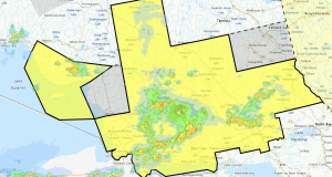
Special weather statement in effect for:
- Sault Ste. Marie – St. Joseph Island
- Searchmont – Montreal River Harbour – Batchawana Bay
Blustery night on tap.
A stiff westerly flow has developed across Northeastern Ontario in the wake of a large Colorado low which will move over Western Quebec tonight.
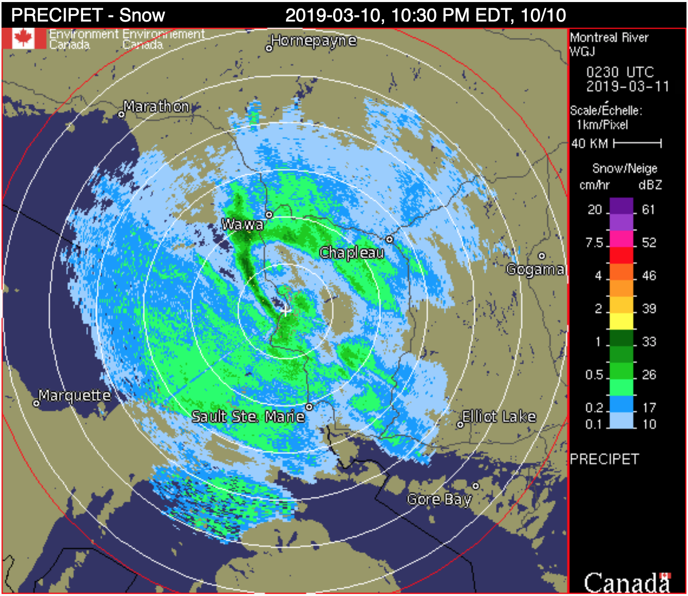
Most areas will receive another 2 to 5 cm of snow tonight, which will be whipped up by the gusty westerly winds, resulting in occasional blowing snow in exposed areas.
Motorists should allow extra time to reach their destination. Untreated roads will be snow covered and may be slippery. Sudden very low visibility in blowing snow is possible in exposed areas.
Conditions will slowly improve Monday as snow and occasional blowing snow come to an end.
Please continue to monitor alerts and forecasts issued by Environment Canada. To report severe weather, send an email to [email protected] or tweet reports using #ONStorm.

- This Weekend at LSPP – Saturday, Aug 1 & Sunday, August 2nd - August 1, 2026
- Township of Hornepayne Approves Advanced Waste-to-Resource Project to Proceed - July 31, 2026
- Today at LSPP – Friday, July 31st - July 31, 2026