 Wawa-news.com Local and Regional News
Feb 27, 2024 at 06:25
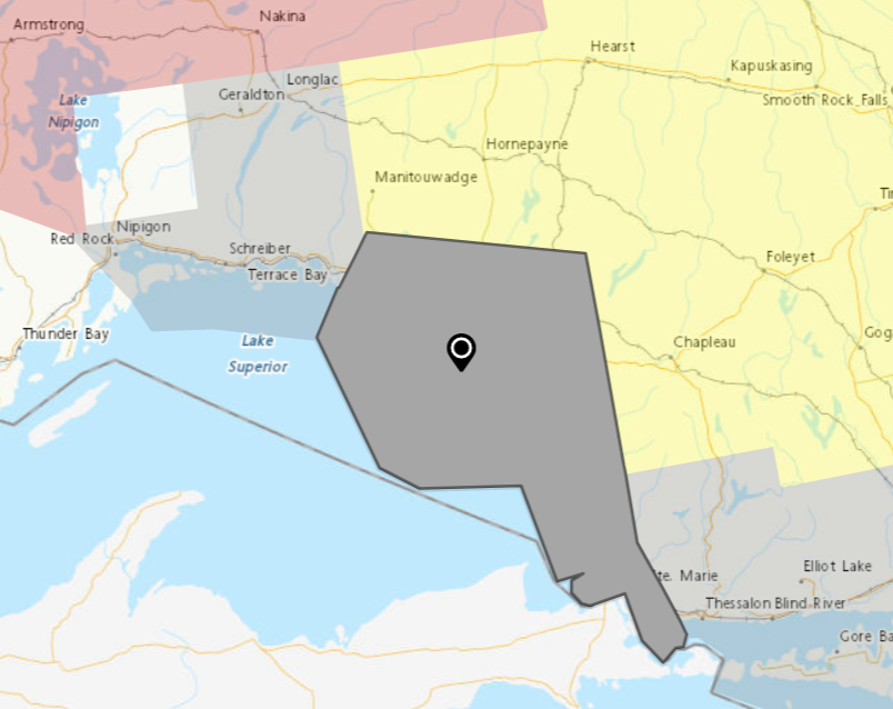
 Wawa – White River – Pukaskwa
- Wawa – Pukaskwa Park
- White River – Dubreuilville
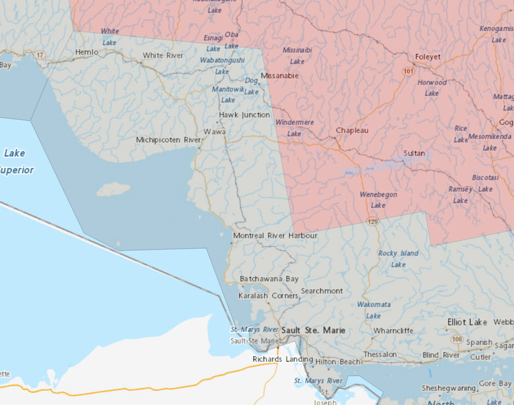
Sault Ste. Marie – Superior East
- Agawa – Lake Superior Park
- Sault Ste. Marie – St. Joseph Island
- Searchmont – Montreal River Harbour – Batchawana Bay
A strong low pressure system will affect the area beginning late this afternoon through Wednesday bringing with it a multitude of precipitation types.
Precipitation will begin as showers this afternoon.
Tonight showers will transition over to freezing rain or ice pellets and then over to snow. During the transition from liquid to frozen precipitation, temperatures will rapidly drop into the minus teens leading to the potential of a flash freeze.
The snow is expected to taper off Wednesday evening with 5 to 15 centimetres possible.
Hazardous travel conditions are expected as roads may become icy with the freezing rain, snow and flash freeze.
Warnings or advisories may be issued as the event draws nearer.
(Wawa, White River, Pukaskwa, Dubreuilville..)
 A strong low-pressure system will affect the area beginning on Tuesday through Wednesday bringing with it a multitude of precipitation types.
Precipitation will begin as periodic showers on Tuesday morning. Showers will transition over to freezing rain or ice pellets and then over to snow Tuesday night. During the transition from liquid to frozen precipitation, temperatures will rapidly drop into the minus teens leading to the potential of a flash freeze.
The snow is expected to taper off Wednesday evening with 5 to 10 centimetres possible. Hazardous travel conditions are expected as roads may become icy with the freezing rain, snow and flash freeze.
Orange Alert = Severe weather
Red Alert = Very dangerous and possibly life-threatening weather
For road conditions and other traveller information from the Ministry of Transportation, visit https://www.ontario.ca/511, or call 5-1-1.
Please continue to monitor alerts and forecasts issued by Environment Canada. To report severe weather, send an email to [email protected] or tweet reports using #ONStorm.
- Heat Warning (Chapleau – Missinaibi Lake) - July 1, 2026
- Heat Warning (Searchmont – Montreal River Harbour – Batchawana Bay) - July 1, 2026
- Heat Warning (White River – Dubreuilville) - July 1, 2026