Wawa-news.com Local and Regional News
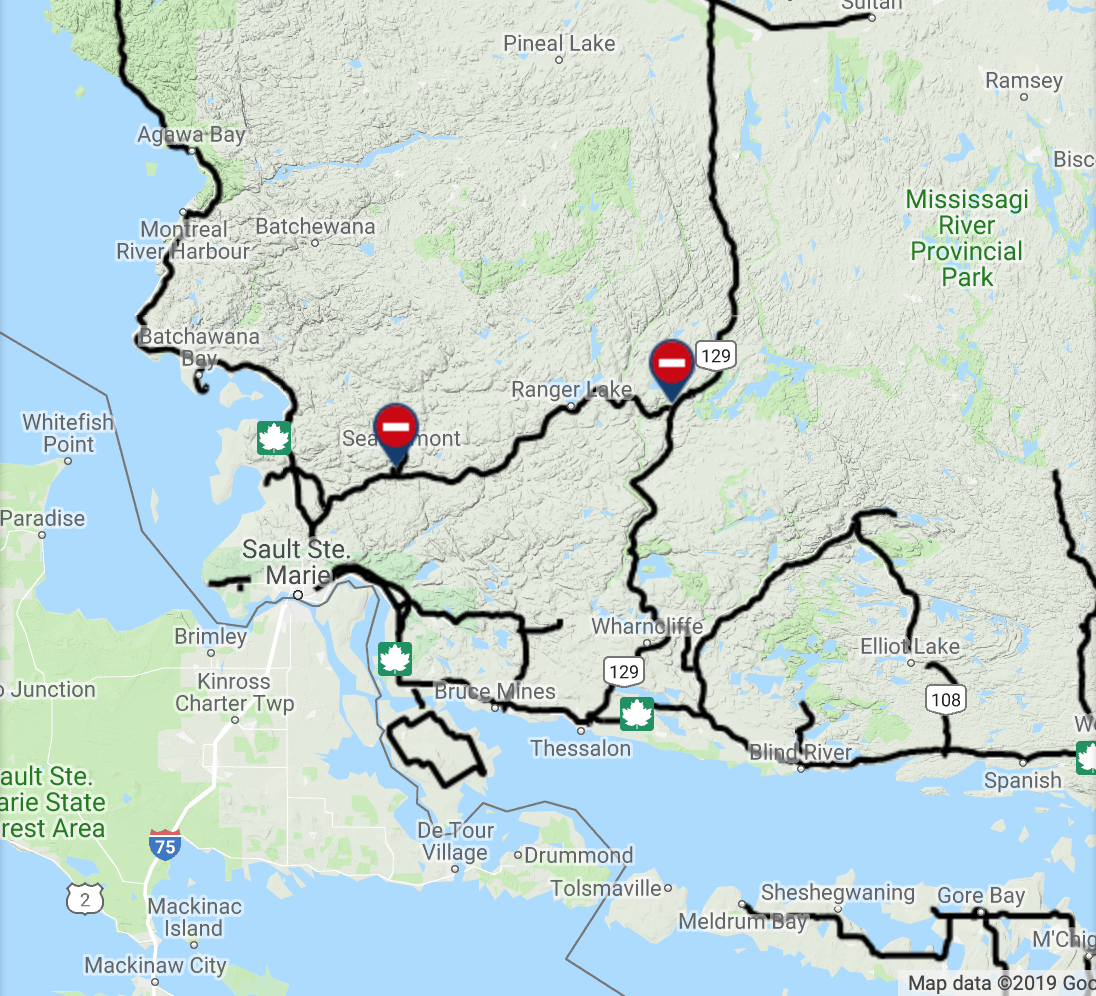
Map from Ontario511
 Highway 556 has been closed by the Ontario Provincial Police from Highway 532 and Highway 129 due to flooding.
There is no indication as to when the highway will reopen.
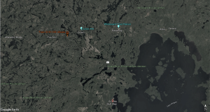
Water levels in area water bodies continue to rise. A drive last Sunday from the Soo showed the Chippewa Falls raging and most creeks and river full of water. A flood watch was issued April 11 for the Goulais River area.
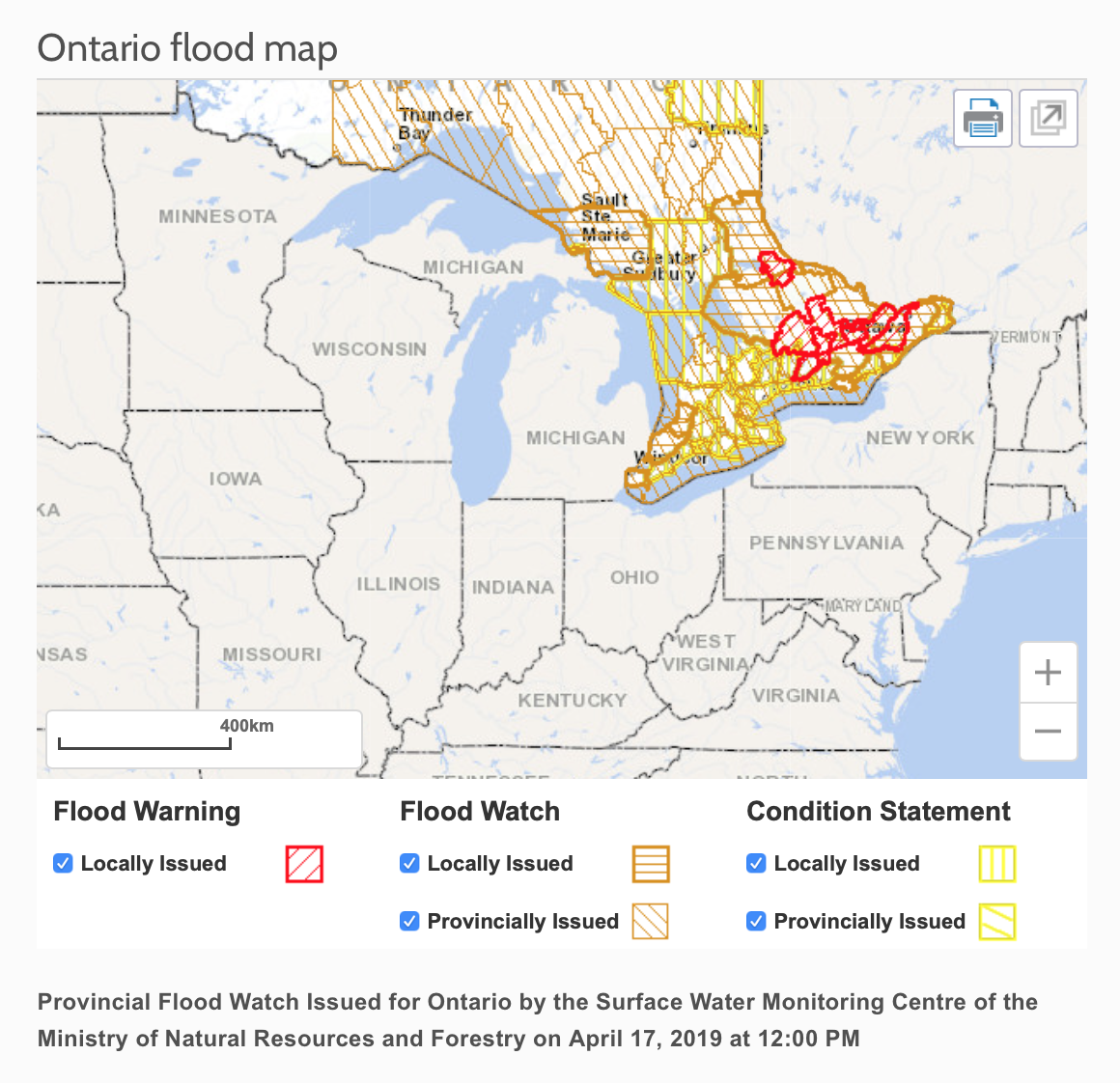
A Watershed Conditions Statement – Flood Outlook is in effect in the District until Friday, April 26, 2019
Residents of Sudbury, Alban, Markstay-Warren, Wanup, St. Charles, Espanola, Manitoulin Island, areas of the North-shore and the unorganized Townships south of Sudbury should keep a close watch on conditions, regularly check for updated messages and stay away from fast-moving rivers and streams.
On April 14th, a State of Emergency and evacuation is underway for Kashechewan. Fort Albany is also under a Flood Watch.

- Monday Morning News – July 20th - July 20, 2026
- Wawa FD called to Backyard Bonfire during RFZ - July 19, 2026
- Fort Frances 14: Evacuation Order & Expanded Evacuation Alert - July 18, 2026