Wawa-news.com Local and Regional News
5:17 AM EST Monday 28 January 2019
Extreme Cold Warning in effect for:
 Wawa – Pukaskwa Park
White River – Dubreuilville
Agawa – Lake Superior Park
Sault Ste. Marie – St. Joseph Island
Searchmont – Montreal River Harbour – Batchawana Bay
…and the rest of Northern Ontario
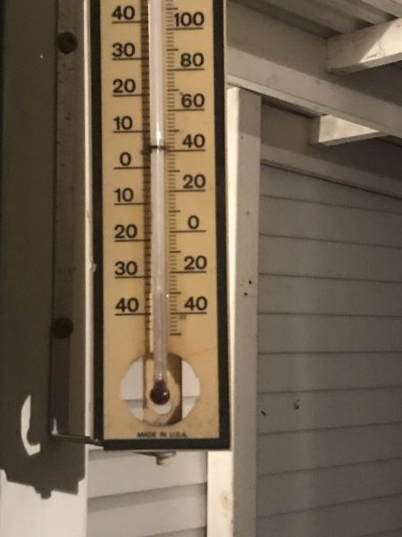
A multi-day episode of very cold wind chills is expected.
Extreme wind chill values of minus 40 to minus 50 this morning and again tonight.
Wind chill values of this magnitude are relatively rare for this region and are extremely dangerous.
These extreme cold wind chill values will continue over western portions of Northern Ontario through much of the week. However, eastern portions of Northern Ontario will likely see a reprieve from the extreme cold wind chills due to increase cloud cover and a slightly warmer air mass. Wind chill values however, will remain in the minus 30 to minus 40 range in these areas.
Extreme cold puts everyone at risk.
Cover up. Frostbite can develop within minutes on exposed skin, especially with wind chill.

- Eabametoong FN (Fort Hope) Evacuation Updates - July 19, 2026
- Statement from Chief Pauline Drake (Whitewater Lake FN) - July 19, 2026
- Northeast Forest Fire Update – July 18 - July 19, 2026