Wawa-news.com Local and Regional News
Jun 30, 2026 at 13:02
Impact Level: Moderate
Forecast Confidence: High
Conditions are favourable for the development of severe thunderstorms that may be capable of producing strong wind gusts, large hail and heavy rain.
What:
- Wind gusts up to 110 km/h.
- Golf ball sized hail.
- Rainfall amounts in excess of 50 mm.
- Risk of tornadoes.
When: This afternoon and into this evening.
Additional information: Several rounds of thunderstorms are expected today bringing strong winds, hail, and heavy rain.
Local utility outages are possible. Damage to roofs, fences, branches or soft shelters is possible. Fast-moving and rapidly rising water can sweep vehicles away and damage infrastructure.
When thunder roars, go indoors! Lightning kills and injures Canadians every year. Emergency Management Ontario recommends that you take cover immediately if threatening weather approaches.
Severe thunderstorm watches are issued when conditions are favourable for the development of thunderstorms capable of producing damaging hail, wind or rain. Please continue to monitor alerts and forecasts issued by Environment Canada.
To report severe weather, send an email to [email protected] or post reports on X using #ONStorm. For more information: ontario.ca/page/be-prepared-emergency.

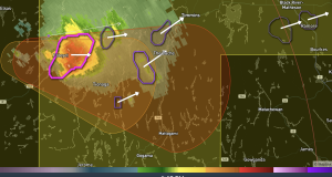
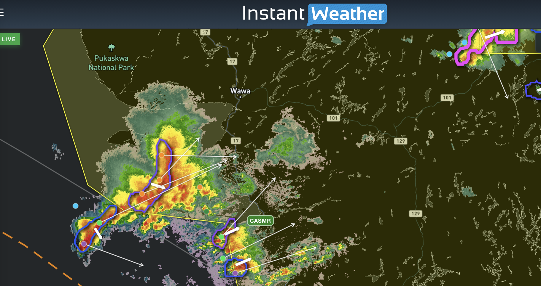
- Severe Thunderstorm Watch (Foleyet) Tornado Potential - June 30, 2026
- Severe Thunderstorm Watch (Wawa – Pukaskwa Park) - June 30, 2026
- Severe Thunderstorm Watch (Chapleau – Missinaibi Lake) - June 30, 2026