Wawa-news.com Local and Regional News
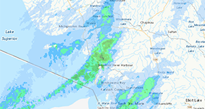
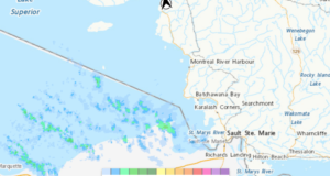
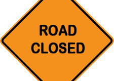
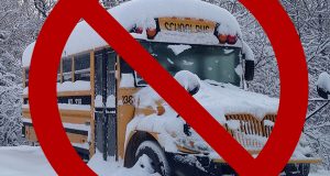
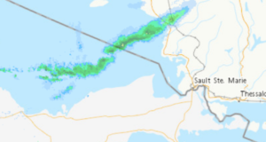
Jan 27, 2022 at 15:24 Hwy 101 has been reopened. Jan 27, 2022 at 06:47 The highway remains closed at this time. School buses have also been cancelled. Jan 26, 2022 at 11:57 Hwy 101 is closed from Wawa to Chapleau due to poor weather and road conditions.
Read More »Hwy 101 (Wawa to Chapleau) OPEN