 Wawa-news.com Local and Regional News
 Winter storm warning in effect for:
- Wawa – Pukaskwa Park
- White River – Dubreuilville
- Agawa – Lake Superior Park
- Searchmont – Montreal River Harbour
- Batchawana Bay
- Chapleau – Missinaibi Lake
- Gogama – Foleyet
- Elliot Lake – Ranger Lake
- Greater Sudbury and vicinity
- Kirkland Lake – Englehart
- Temiskaming Shores – Temagami
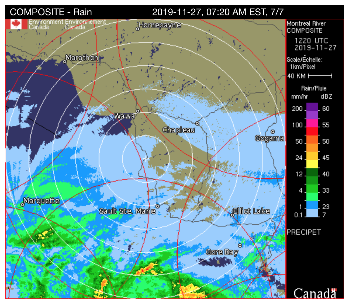
A winter storm with heavy snow and blowing snow is expected today.
Snow is expected to move in from the south this morning and continue into this evening. Northeasterly winds gusting to 60 km/h will also produce blowing snow in exposed areas.
Snowfall amounts near 15 cm are likely in the Wawa area and in regions near Lake Superior. Lesser snow amounts, perhaps near 5 cm are expected in areas northwest of White River which will be on the northern edge of this winter storm.
Consider postponing non-essential travel until conditions improve. Visibility will be suddenly reduced to near zero at times in heavy snow and blowing snow. If visibility is reduced while driving, turn on your lights and maintain a safe following distance.
Snowfall warning in effect for:
- Sault Ste. Marie – St. Joseph Island
Significant snowfall is expected today.
A rain and wet snow mix has moved in from Michigan as expected. The precipitation will change over to snow, heavy at times, this morning.
Total snowfall amounts near 15 cm are likely by this evening.
Hazardous winter driving conditions from very low visibility in snow and local blowing snow in exposed areas are expected today. Motorists should alter travel plans accordingly.
Rapidly accumulating snow will make travel difficult. Visibility may be suddenly reduced at times in heavy snow. If visibility is reduced while driving, turn on your lights and maintain a safe following distance.

- Today at LSPP – Thursday, July 30th - July 30, 2026
- Northwest Forest Fire Update – July 29 - July 30, 2026
- Northeast Forest Fire Update – July 29 - July 30, 2026
