Wawa-news.com Local and Regional News
 10:58 PM EST Monday 06 February 2017
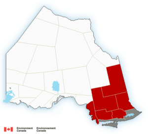
Snowfall warning in effect for:
- Agawa – Lake Superior Park
- Sault Ste. Marie – St. Joseph Island
- Searchmont – Montreal River Harbour – Batchawana Bay
Significant snowfall expected Tuesday.
Snow, at times heavy, will start over regions east of Lake Superior Tuesday morning, and then spread to regions near the Quebec border by midday. Total snowfall amounts of 15 to 20 cm are expected.
Snowfall will taper off Wednesday morning.
Be prepared to adjust your driving with changing road conditions. Visibility may be suddenly reduced at times in heavy snow. Surfaces such as highways, roads, walkways and parking lots may become difficult to navigate due to accumulating snow.
Snowfall warnings are issued when significant snowfall is expected.
Please continue to monitor alerts and forecasts issued by Environment Canada. To report severe weather, send an email to [email protected] or tweet reports to #ONStorm.

- Men’s Night Golf – Results of October 8th - October 10, 2026
- Two new student trustees begin their term at CSC Nouvelon - October 8, 2026
- SSM Police: Fraud Alert – Cellphone Service Provider Scams - October 8, 2026